AeroTrack

Drone Survey Solution
India’s Leading Drone Survey Company – Land Survey, Mining, DGPS & Aerial Mapping Services
Drone Survey Solution
India’s Leading Drone Survey Company – Land Survey, Mining, DGPS & Aerial Mapping Services

At Aerotrack, we specialize in comprehensive land and aerial surveying, mapping, data analysis, and inspection services. Our solutions are designed to be innovative, precise, and cost-effective, ensuring efficiency and accuracy in every project.
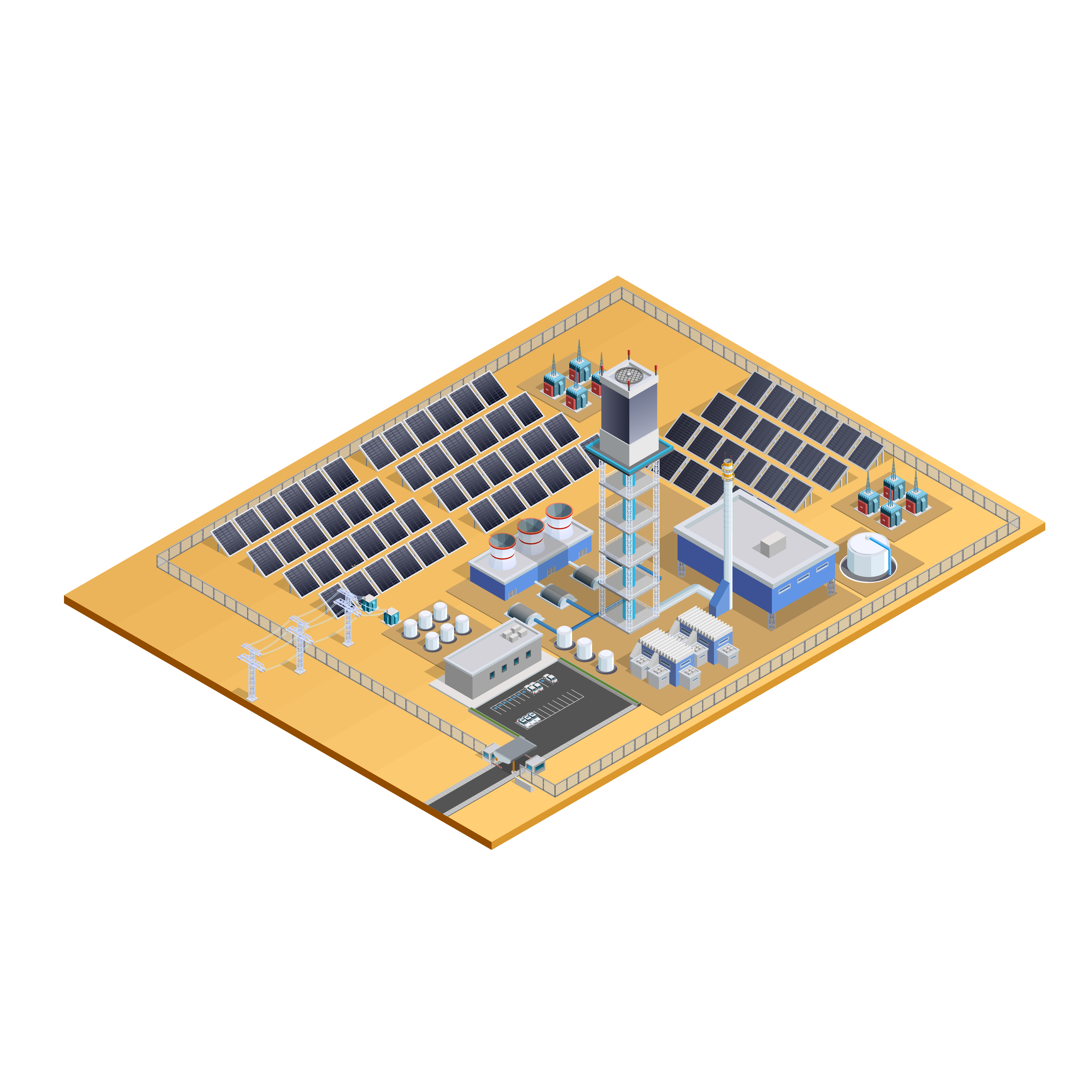
Based in Jaipur and operating nationwide, we serve industries including construction, infrastructure, agriculture, mining, energy, and more—helping clients make informed, data-backed decisions.